Drone inspection flights
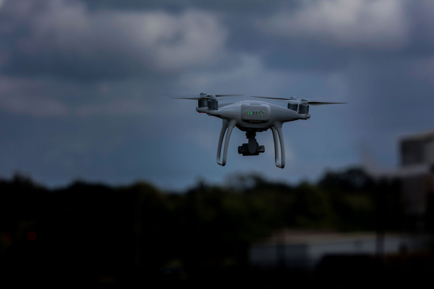
Inspection drones as a service
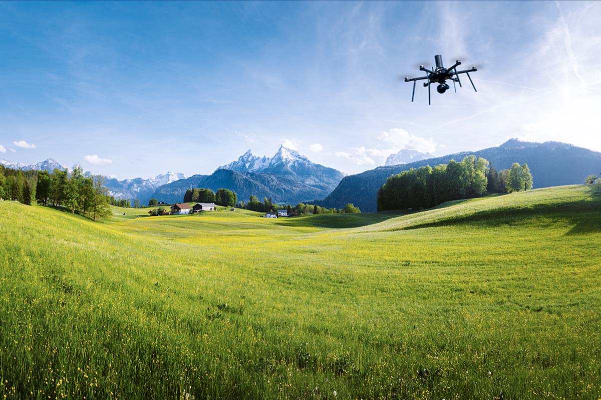
Keep track of what’s going on. Drone flights allow you to capture everything efficiently and in full, from construction site monitoring, surveying and cartography, to vegetation analysis and terrain models.
Capture the situation quickly and in detail with drones
Do you want to inspect an area that is difficult to access, has blind spots or is constantly changing? You can achieve this efficiently with a drone flight, which we can offer as a service. We provide full support:
1. Flight path planning
2. Flight preparation (including ground and air risk analysis)
3. Flight operations/data recording
4. Data processing
Drones are the ideal way to gather information.
Use cases
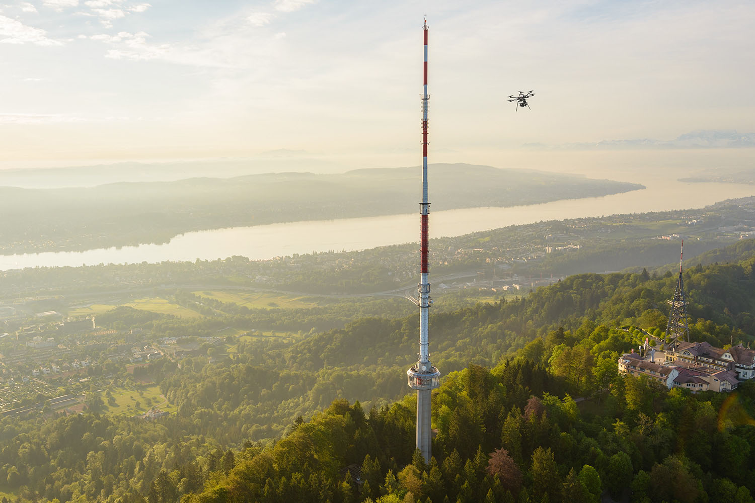
Infrastructure inspection
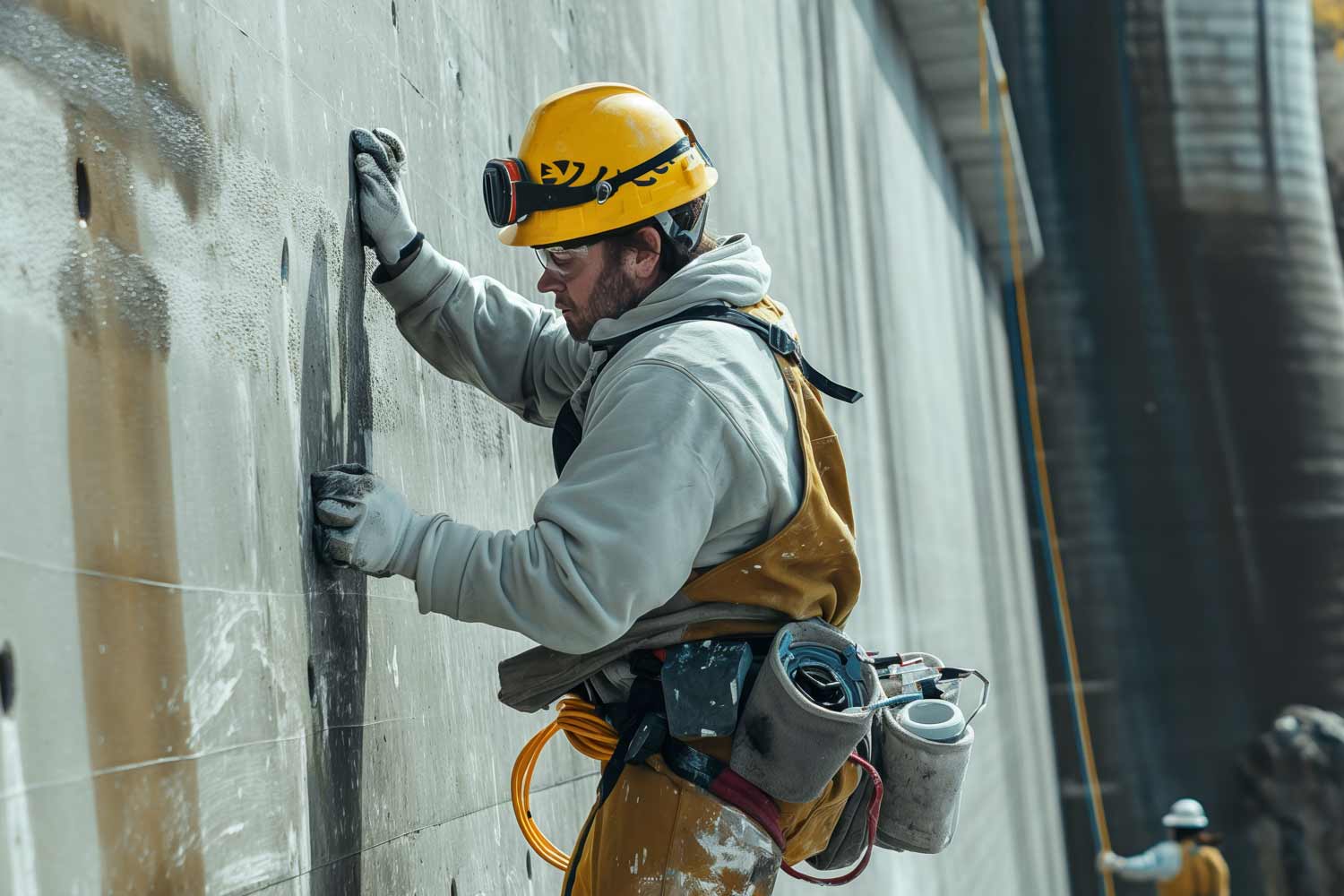
Increase employee efficiency and safety – leave hazardous checks to the drones.
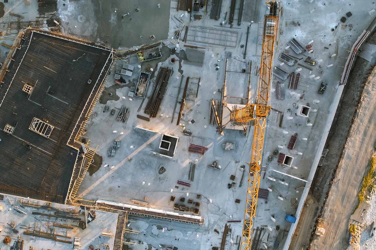
Construction monitoring
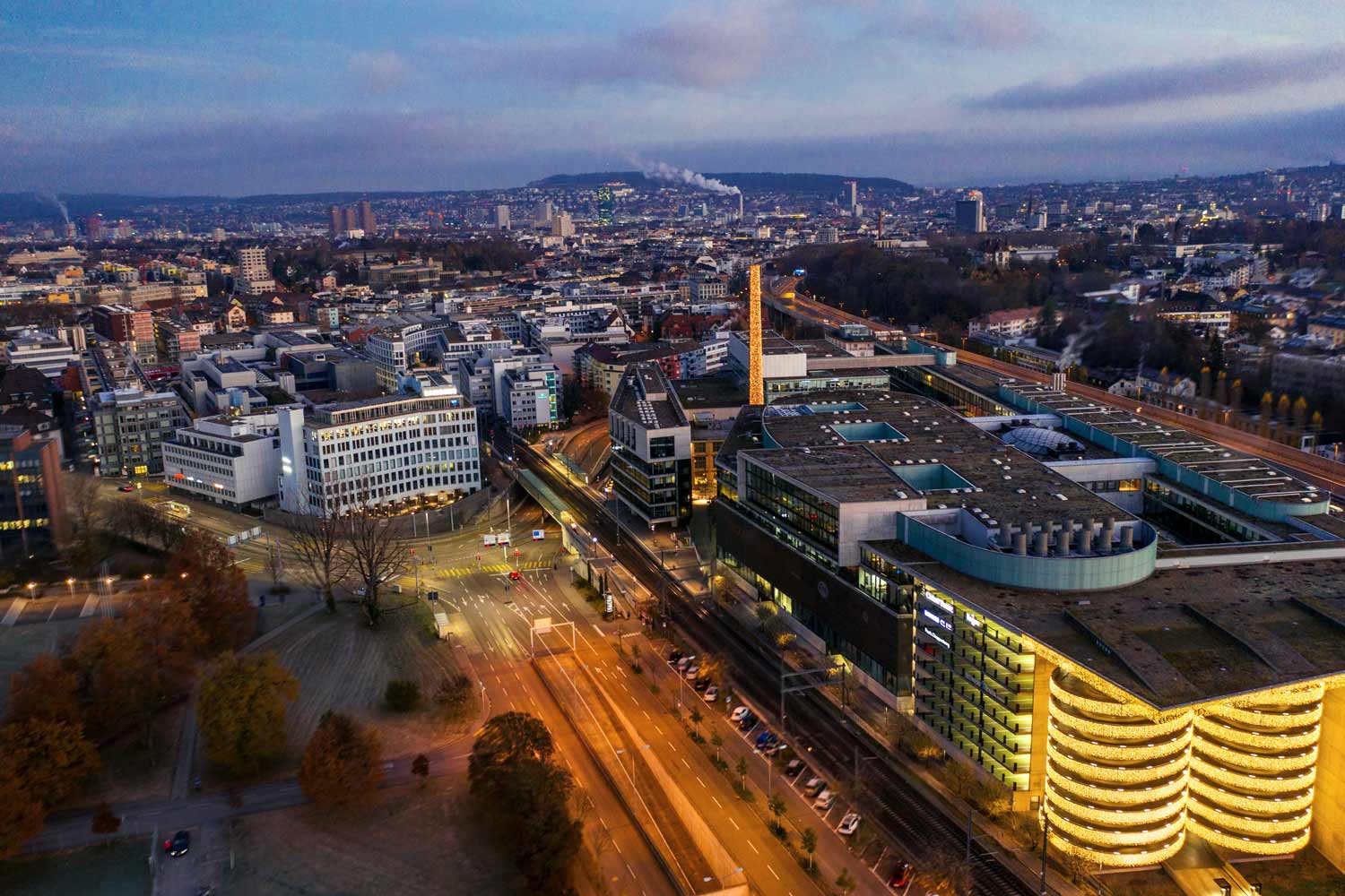
A 360° view of monitoring, surveying and construction progress planning. Suitable for all construction sites.
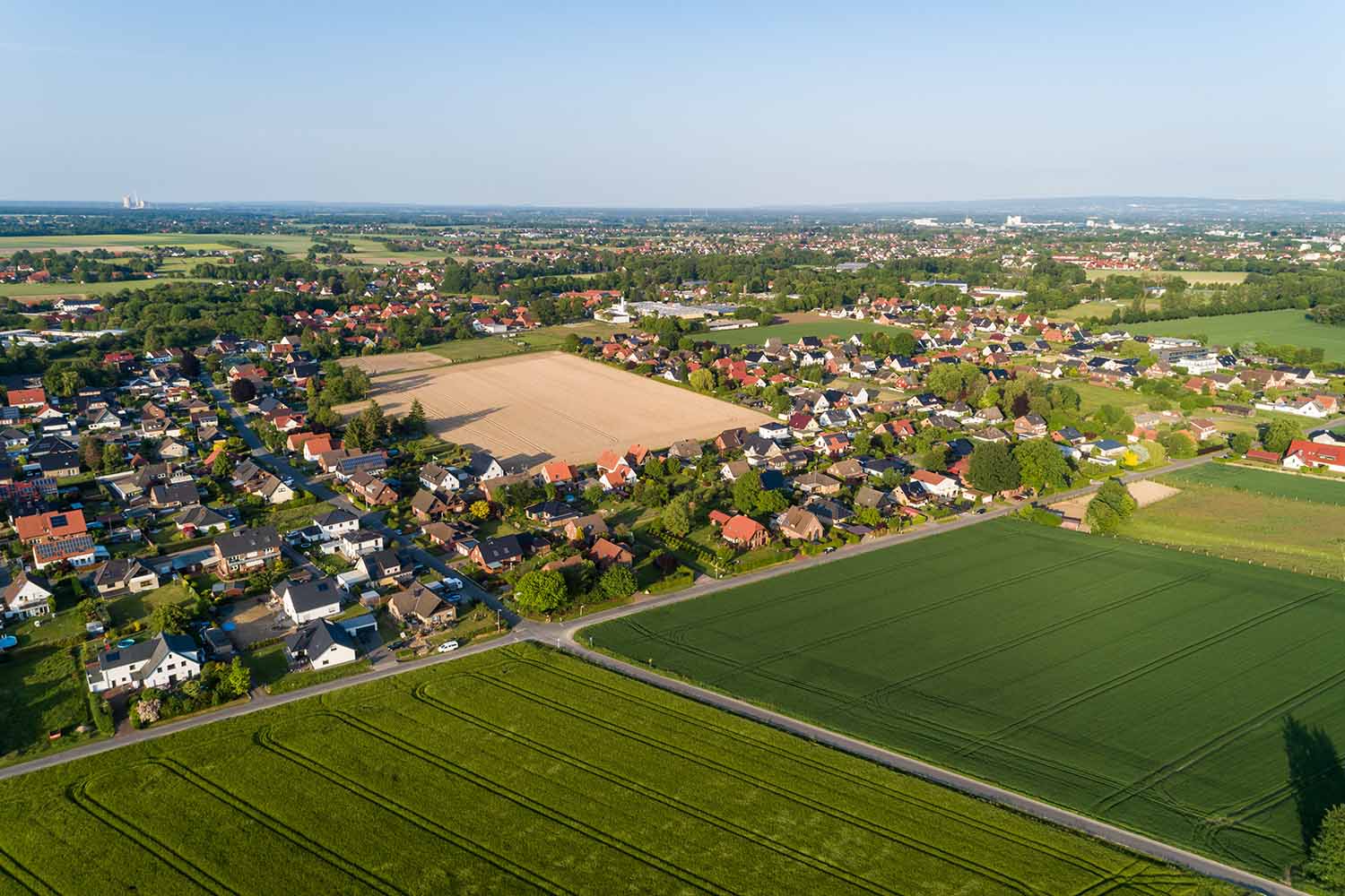
Surveying
More efficient surveying of landscapes, towns, buildings, villages and streets for operational maintenance purposes.
Vegetation analysis
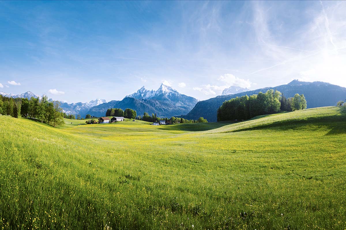
Identification of dry terrain, weeds and non-native species, as well as feeding traces, to evaluate infestation and density.
Natural hazards
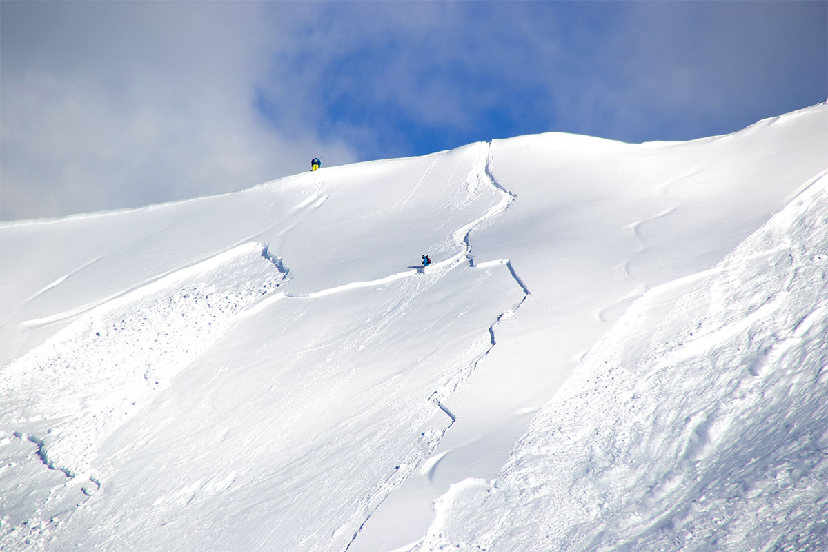
Use drone images to rapidly identify avalanches, mudslides and floods.
Drones for every application
Efficient position detection
Gain a rapid overview anywhere in Switzerland using drones.
Personal safety
Leave hazardous exploration in exposed areas to drones.
24/7 flights h
In the Operation Control Centre, our drone pilots fly around the clock.
Data output
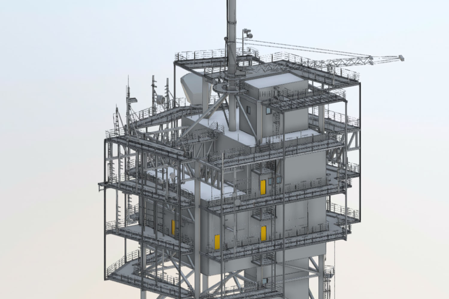
Raw image data, orthomosaics, point clouds, 3D mesh or BIM models: you decide.
Why Swisscom Broadcast?
Register now for a no-obligation demo.
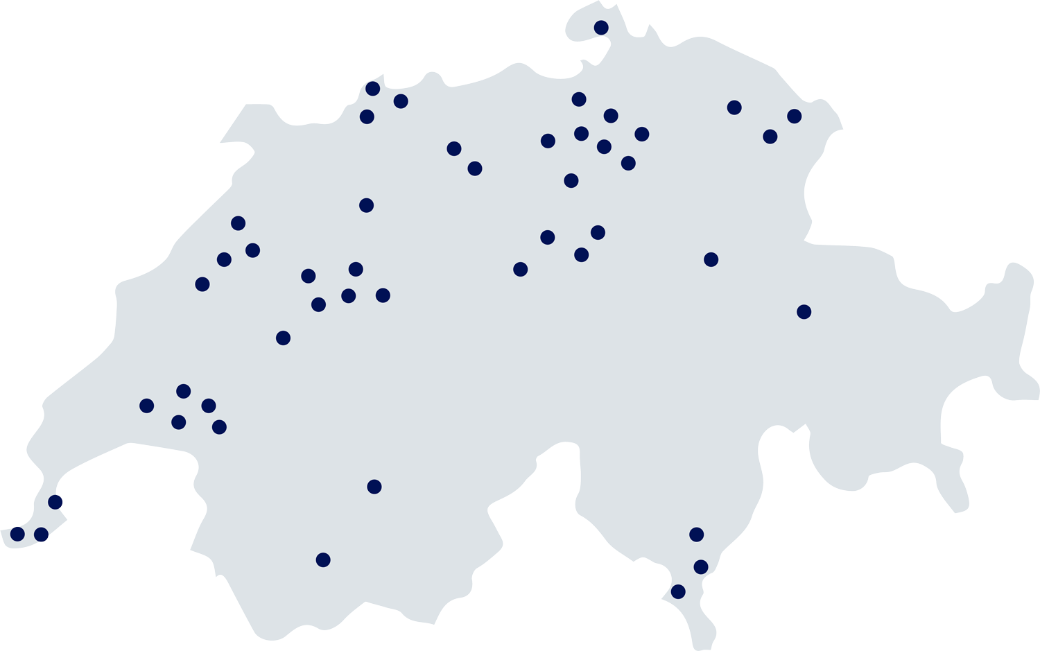
Switzerland drone network
A drone-as-a-service offering that works similarly to car-sharing.

